
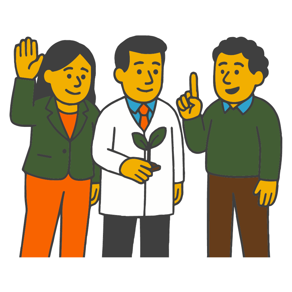
Plant health and agronomy
University partners, agronomists, and plant pathologists help validate detections, thresholds, and field guidance so recommendations stay clear, practical, and timely.
Crop Help is built by growers, engineers, and educators who care about real gardens, real classrooms, and practical tools that respect how people actually work.
Remote friendly across time zones • Inclusive hiring • Built with real programs and partners
Crop Help is shaped by a core team that bridges STEM learning, community agriculture, and applied AI, so the product stays grounded in real classrooms, farms, and gardens.
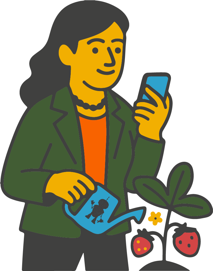
Founder and CEO, STEM Minds (she/her)
Leads vision and product direction for Crop Help. Award winning entrepreneur focused on accessible STEM learning, building partnerships and clear pathways so schools and community growers can act on plant health with confidence.
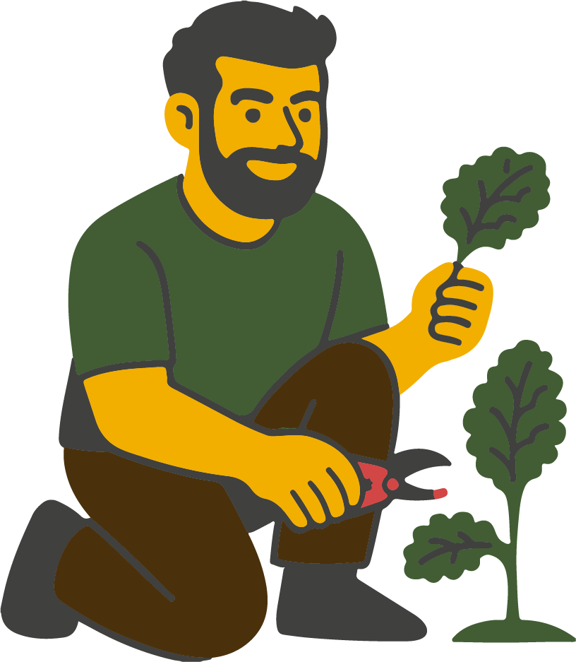
Ag Systems and Community Partnerships, Boreal Farms (he/him)
Urban agriculture innovator behind modular container farms and community grow programs. Brings practical grower workflows and school partnerships to field test guidance and keep recommendations accountable to real yields.
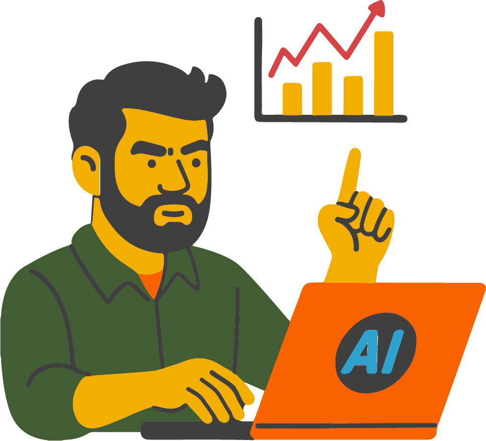
Lead Data and AI (he/him)
Architects the data backbone for Crop Help. Leads model development for plant health detection, IoT and telemetry dashboards, and KPI pipelines, with a focus on privacy, reliability, and fast results on mobile devices.
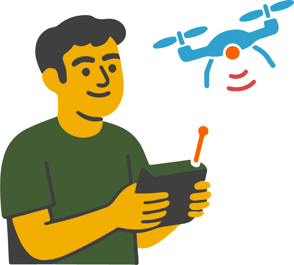
Sustainability and Environment Lead, GIS (he/him)
Environmental studies and earth science at the University of Toronto, STEM Minds graduate turned teammate. Leads drones and GIS programming plus remote sensing layers that power risk maps and field tasks, championing climate literacy throughout the app.
We work with advisors across research, geospatial analysis, and education to stress test new features, tune thresholds, and keep every recommendation simple and actionable in the field.
University partners, agronomists, and plant pathologists help validate detections, thresholds, and field guidance so recommendations stay clear, practical, and timely.
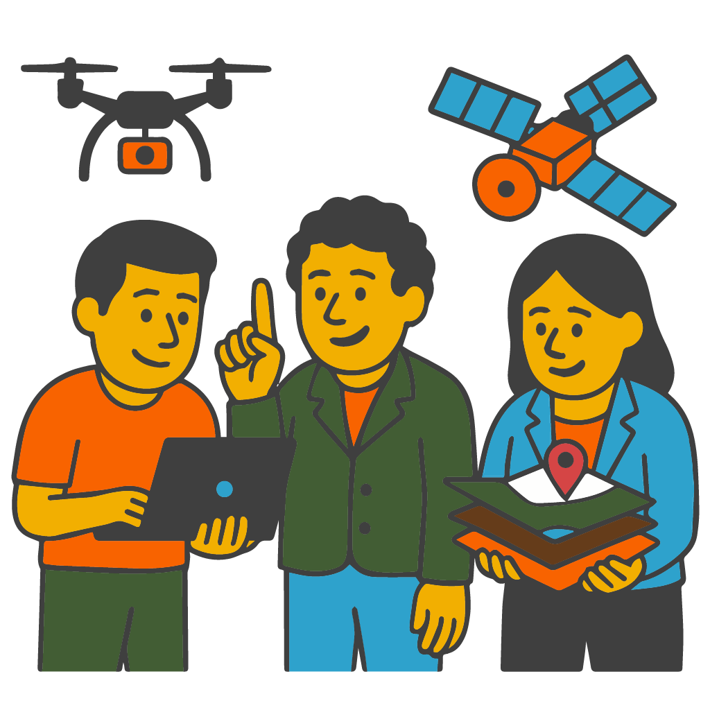
Researchers and geospatial experts advise on drones, satellite layers, and risk mapping, blending imagery with on the ground context for trustworthy signals.
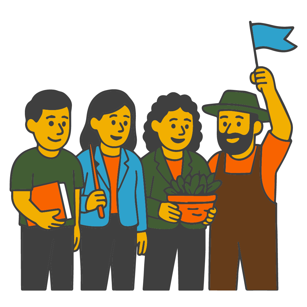
Educators and community agriculture leaders ensure tools fit real routines in schools, clubs, and grower networks so impact can scale across seasons and sites.
Join a mission driven team building practical tools for real fields, greenhouses, and classrooms.
We welcome non traditional paths and lived experience.